Why we teach Geography at St. Chad’s
Geography inspires our pupils to develop curiosity and fascination about the world and its people that will remain with them for the rest of their lives.
Geography equips our pupils with knowledge about diverse places, people, resources and natural and human environments, together with a deep understanding of the Earth’s key physical and human processes.
As our pupils progress, their growing knowledge about the world helps them to deepen their understanding of the interaction between physical and human processes, and of the formation and use of landscapes and environments.
How we teach Geography at St. Chad’s
Geography is taught in half-termly blocks throughout the year from Year 1 to 6. Each class has a long-term plan with three areas of geography to cover. Where appropriate, links are also made to geographical skills/ knowledge during other subject lessons. Skills are progressive across each key stage and are revisited to ensure consolidation.
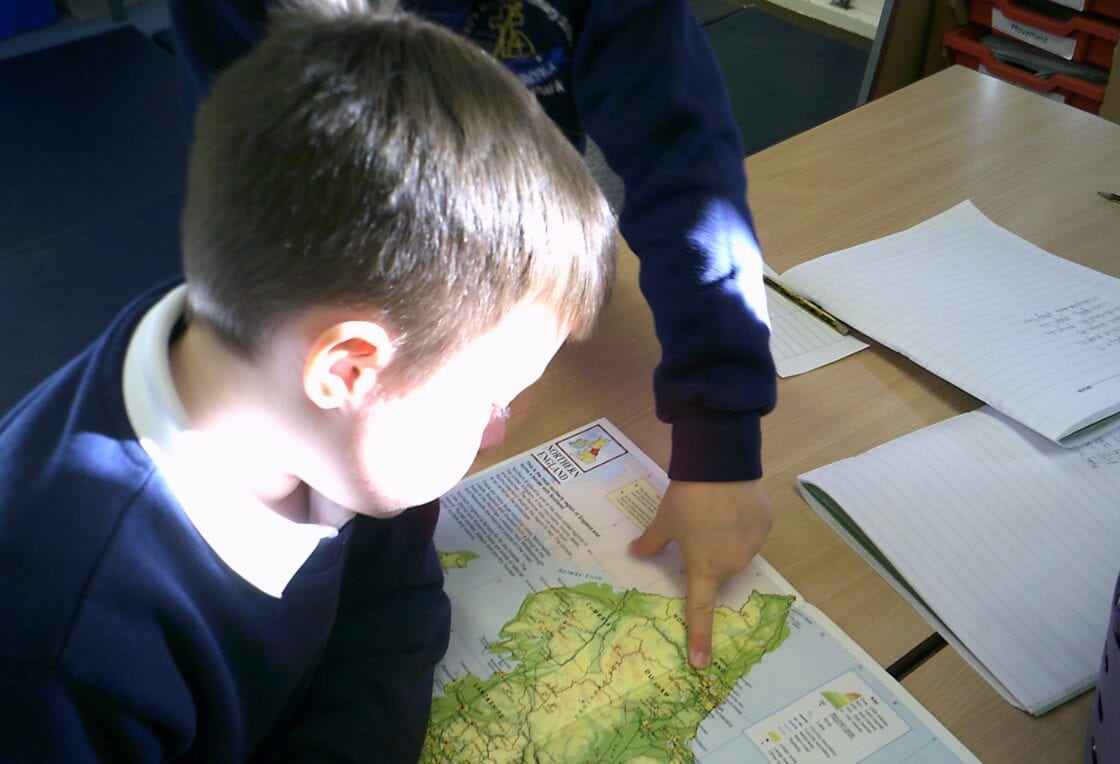
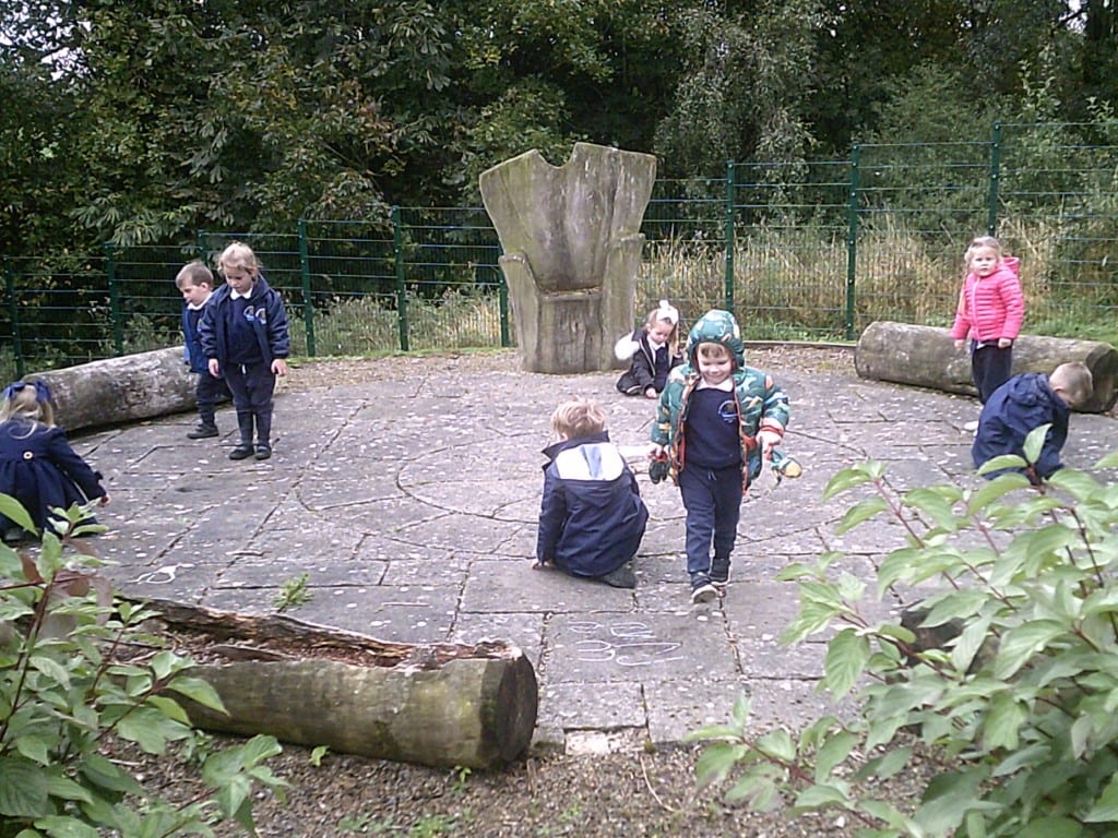
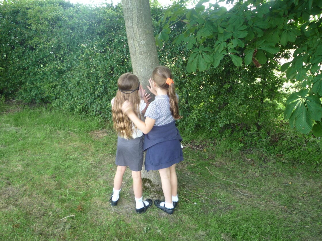
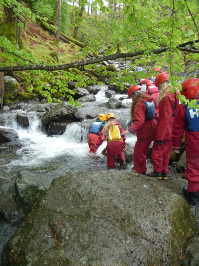
Teachers are encouraged to provide opportunities for field work with in the school grounds and local area to deepen the children’s understanding and provide opportunities to apply their geographical skills.
What we aim to achieve through the teaching of Geography at St. Chad’s
To ensure that all of our pupils:
- develop contextual knowledge of the location of globally significant places – both terrestrial and marine – including their defining physical and human characteristics and how these provide a geographical context for understanding the actions of processes
- understand the processes that give rise to key physical and human geographical features of the world, how these are interdependent and how they bring about spatial variation and change over time
- are competent in the geographical skills needed to:
- collect, analyse and communicate with a range of data gathered through experiences of fieldwork that deepen their understanding of geographical processes
- interpret a range of sources of geographical information, including maps, diagrams, globes, aerial photographs and Geographical Information Systems (GIS)
- communicate geographical information in a variety of ways, including through maps, numerical and quantitative skills and writing at length
Examples of Geography at St. Chad’s